UttaraPedia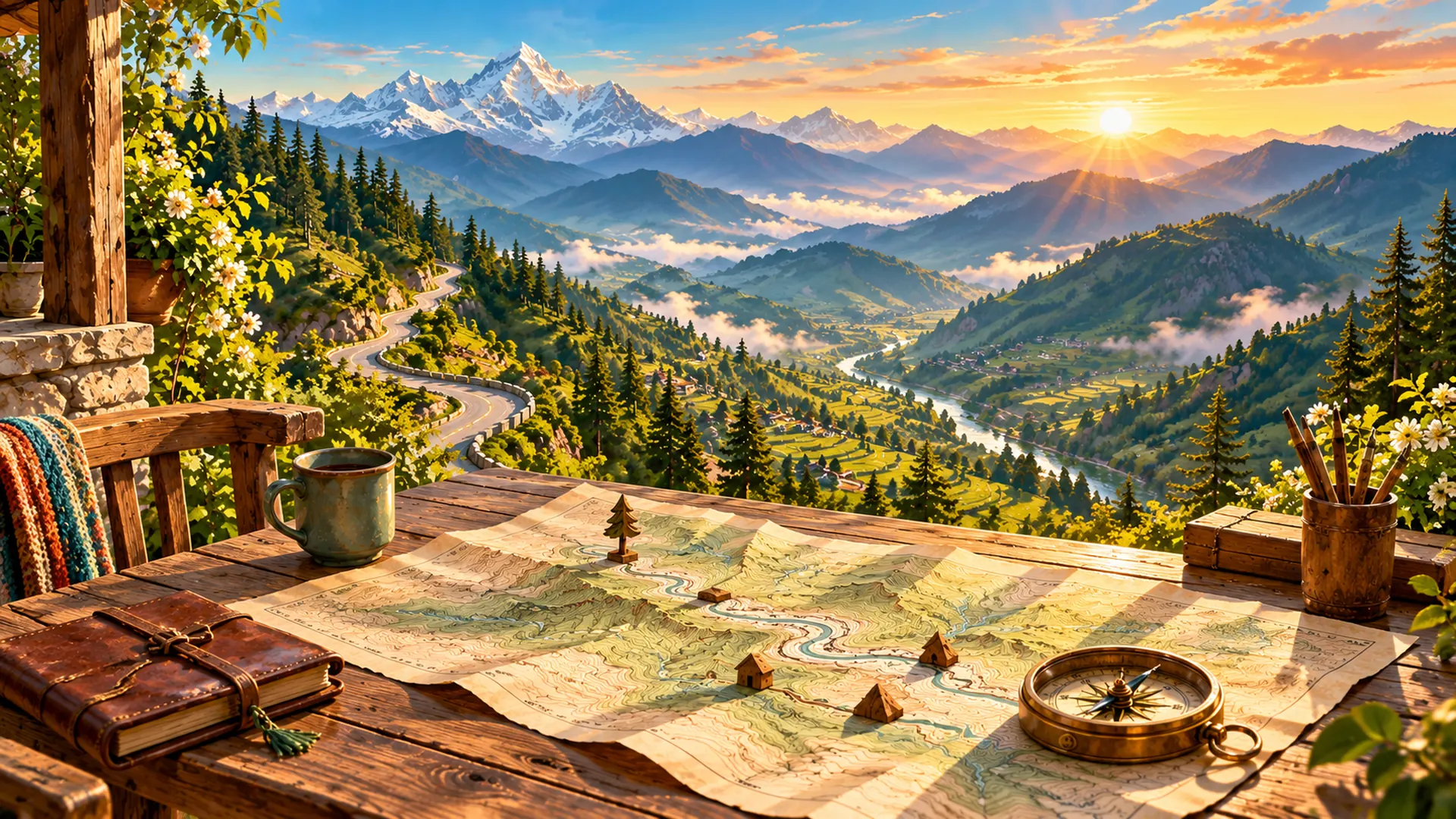
A hill town and a village may sit close together on a screen. That does not tell you whether a road connects them directly, how much climbing is involved or when you will arrive. Before discussing a journey, separate the questions a map can help answer.
Start with the scale
Scale relates distance on a map to distance on the ground. At 1:50,000, one centimetre represents 500 metres. This is a horizontal distance relationship, not a walking-time promise. When using a resized printout, check that the scale information still matches the printed map; a scale bar travels with a uniformly resized image.
Try a paper exercise: mark two points two centimetres apart on a hypothetical map at that scale. Their straight-line separation represents one kilometre. Label your result “straight-line distance” rather than “road distance”. Writing the label is part of doing the calculation correctly.
Contours describe elevation
A contour joins points at the same elevation relative to a reference level. Read the labelled heights and the contour interval. On the same map with the same interval, closer contour spacing indicates a steeper slope. Do not count lines without first checking what vertical difference each interval represents.
In your notebook, draw two sets of five lines: one widely spaced and one tightly spaced. Give both sets the same height labels. Explain the difference aloud without adding a made-up walking speed. This keeps the lesson about the shape of the ground.
Trace the actual route
Now follow a marked road or path instead of joining your endpoints with a ruler. Note junctions and the places where the route changes direction. A place label identifies a location; it does not guarantee public access or a currently usable connection.
Keep three separate notes: estimated map distance, elevation information and the route you intend to follow. Then add a fourth question about current conditions. A printed map cannot, by itself, confirm today's road opening, transport service or weather.
Use the map to ask better questions
For a real journey, check a current route source and local access information before setting a departure plan. This introduction is a reading exercise, not field-navigation training. Its practical benefit is knowing which question remains unanswered instead of treating one attractive map as the whole itinerary.
Sources and practice
USGS: topographic maps · USGS: map scales · USGS: contours and slope