UttaraPedia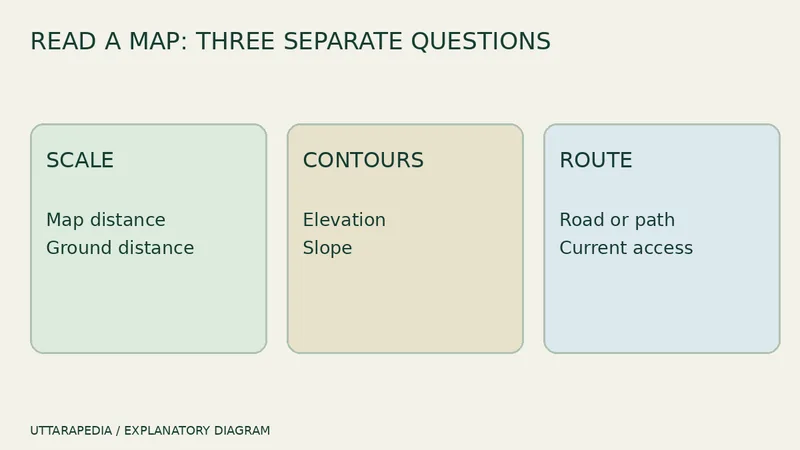
Political, physical, road, railway, tourist और topographic maps भारत के same area को दिखाकर भी अलग सवालों का जवाब देते हैं। पहले कौन-सा खोलें? जिस decision की जरूरत है उसे लिखें, फिर उसी काम के लिए बना map चुनें।
Political map बताता है “कौन-सा administrative area?”
Political map states, union territories, capitals और boundaries को दिए scale पर locate करता है। Broad orientation और administration में useful है, mountain road चुनने या neighbourhood walk मापने में नहीं। Survey of India official political और state maps publish करता है; edition और scale देखें क्योंकि boundaries और names update हो सकते हैं।
Physical map land और water समझाता है
Physical map mountains, plains, plateaus, rivers और दूसरे natural features पर जोर देता है। इससे route के bend और climate difference की वजह समझ सकती है, लेकिन current road, closure या public transport अपने-आप नहीं मिलता। Geographic context के बाद current route source देखें।
Road और railway maps network दिखाते हैं
Road map places को roads से और railway map stations को rail lines से जोड़ता है। दोनों last mile पूरी तरह नहीं बताते। Road line current surface condition या हर vehicle की access guarantee नहीं। Railway line का मतलब हर train हर station पर रुके—यह भी नहीं। Network समझने के बाद live operator information देखें।
Guide और tourist maps visit आसान बनाते हैं
Guide maps और tourist maps selected streets, landmarks या attractions highlight कर सकते हैं। Focus उनकी strength है, पर selection में चीजें छूटती भी हैं। Opening hours, tickets और temporary restrictions destination की official page पर confirm करें। Illustrated map को orientation मानें, live traffic service नहीं।
Topographic map terrain जोड़ता है
Topographic maps contours, spot heights और symbols से terrain दिखाते हैं। Slope और landform समझने में useful हैं, पर safe use के लिए scale, contour interval और edition पढ़ना जरूरी है। Local permission, weather और route check की जगह इन्हें न रखें।
छह सवाल पूछें
- State या district boundary चाहिए?
- Terrain और elevation चाहिए?
- Road या rail network चाहिए?
- Visitor-oriented town plan चाहिए?
- Edition कितनी नई है?
- कौन-सी live information अलग verify करनी है?
Map scale, contours और road distance वाली guide बताती है कि paper के centimetres और road के kilometres अलग क्यों हैं। सही map type चुनने के बाद उसे पढ़ें।
अब trip note के ऊपर सवाल लिखें—boundary, terrain, route या attractions—और matching official map खोलें। पाँच ऐसे layers से एक precise map बेहतर है जिन्हें आपने समझा नहीं।
Scale और detail को same न मानें
बड़ी sheet भी बहुत बड़ा area limited local detail के साथ दिखा सकती है। Bigger-looking map को ज्यादा precise मानने से पहले numerical या bar scale और legend पढ़ें। Phone map में zoom करने से displayed detail बदलती है; underlying information की age या authority बेहतर नहीं हो जाती। Accuracy जरूरी हो तो source और edition note करें।