UttaraPedia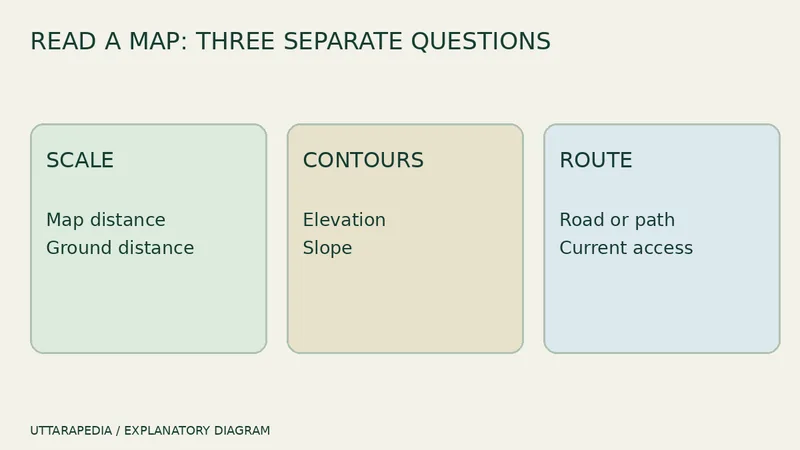
Political, physical, road, railway, tourist and topographic maps can show the same part of India and still answer different questions. Which one should you open first? Start with the decision you need to make, then choose the map designed for that job.
Political maps answer “which administrative area?”
A political map helps locate states, union territories, capitals and boundaries at the scale provided. It is useful for broad orientation and administration, not for choosing a mountain road or measuring a neighbourhood walk. Survey of India publishes official political and state maps; always note the edition and scale because boundaries and names can be updated.
Physical maps explain land and water
A physical map emphasises mountains, plains, plateaus, rivers and other natural features. It can explain why routes bend or why climates differ, but it does not automatically provide current roads, closures or public transport. Use it for geographic context, then move to a current route source for travel.
Road and railway maps describe networks
A road map connects places through roads; a railway map connects stations and rail lines. Neither tells the complete last mile. A road line does not guarantee current surface condition or access for every vehicle. A railway line does not show that every train stops at every station. Check the live operator information after understanding the network.
Guide and tourist maps simplify a visit
Guide maps and tourist maps may highlight selected streets, landmarks or attractions. Their strength is focus, but selection also means omission. Confirm opening hours, tickets and temporary restrictions on the destination’s official page. Treat a beautiful illustrated map as orientation, not a live traffic service.
Topographic maps add terrain
Topographic maps use contours, spot heights and symbols to show terrain. They are valuable for understanding slope and landform, but using them safely requires attention to scale, contour interval and edition. They are not a substitute for local permission, weather or route checks.
A six-question choice
- Do I need a state or district boundary?
- Do I need terrain and elevation?
- Do I need a road or rail network?
- Do I need a visitor-oriented town plan?
- How recent is the edition?
- What live information must I verify separately?
Our guide to map scale, contours and road distance explains why centimetres on paper and kilometres by road are different. Use that guide after choosing the correct map type.
Your next step is to write the question at the top of your trip note—boundary, terrain, route or attractions—and open the matching official map. One precise map is more useful than five layers you have not interpreted.
Do not mix scale with detail
A large sheet can still show a very large area with limited local detail. Read the numerical or bar scale and the legend before assuming that a bigger-looking map is more precise. If you switch to a phone map, remember that zooming changes what is displayed; it does not improve the age or authority of the underlying information. Record the source and edition when accuracy matters.