 UttaraPedia
Bageshwar
Bageshwar district
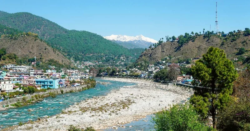
The Saryu and Gomti confluence, and the administrative areas beyond Bageshwar town.
Source check 2026-09-26 · Source review · ANUP research
Bageshwar town stands where the Saryu and Gomti meet. The town and the district share a name, but a town address should not stand in for the whole district.
Reading the district map
The district administration lists three development blocks: Bageshwar, Garur and Kapkot. Its subdivision list also includes Kanda. Blocks and subdivisions are different administrative units; their names and counts should not be combined into a single list.
Follow the sources
Use the linked administrative list when identifying a village or institution. The sources below separate the town’s geographical setting from the district’s administrative structure. An old address may need checking against these newer district references.
Sources
- Town and district introduction · bageshwar.nic.in
- Subdivisions and development blocks · bageshwar.nic.in
Explore Bageshwar
Selected reading on places, local culture and geography. Archive articles retain their original dates.
Plan your visit
From the publication
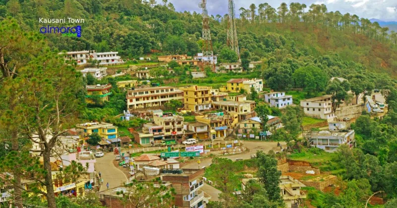
Where to Stay in Kausani: Hotels, Homestays and Room Choices
Choose a Kausani stay by location, room view, access and meals, with a practical shortlist and questions to ask before booking.
Read story →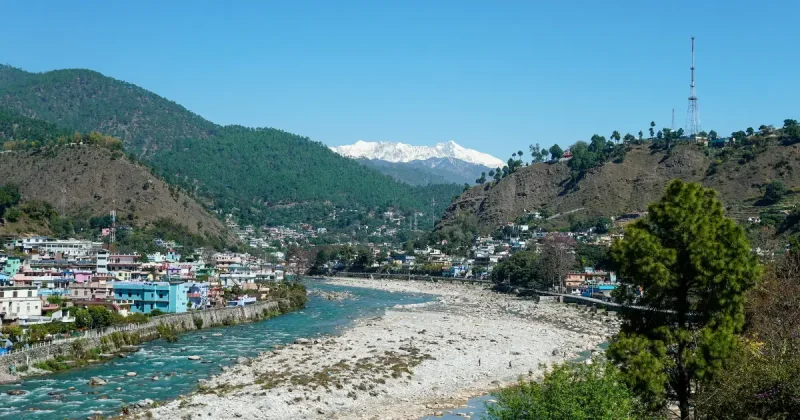
From the archive · 2022
Bageshwar: कुमाऊँ का तीर्थस्थल
उत्तराखंड पर्यटन की दृष्टि से एक बेहद प्रसिद्ध स्थान है। जो पर्यटन मानचित्र पर महत्वपूर्ण स्थान रखने वाला ऐतिहासिक स्थान बागेश्वर, उत्तराखंड के कुमाऊं मंडल में स्थित है। बागेश्वर जिला मुख्या
Read story →Places to explore
From the archive · 2021
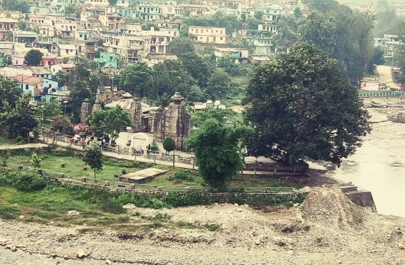
बैजनाथ की यात्रा
बैजनाथ भारत के उत्तराखंड के कुमाऊं मंडल में बागेश्वर जिले में गोमती नदी के किनारे एक छोटा सा शहर है। यह स्थान अपने प्राचीन मंदिरों के लिए सबसे अधिक जाना जाता है, जिन्हें भारतीय पुरातत्व सर्व
Read story →From the archive · 2020
खूबसूरत और ऐतिहासिक पर्वतीय पर्यटक स्थल कौसानी
कौसानी विश्व प्रसिद्द पर्यटक स्थलों में से एक है, जो उत्तराखंड में कुमाऊ मंडल के तहसील गरुड़ के अन्दर आता है, . इसका कुछ हिस्सा अल्मोड़ा और कुछ हिस्सा बागेश्वर जिले में आता है। समुद्रतल से लगभ
Read story →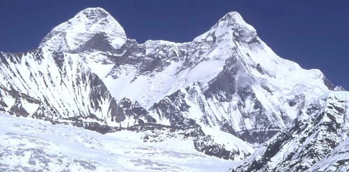
From the archive · 2014
Pindari Glacier Trek
Upper reaches of the Kumaon Himalayas host The Pindari Glacier, to the southeast of Nanda Devi, Nanda Kot. The glacier flows to the south for a short distance of about 3 KM and gives rise to
Read story →