 UttaraPedia
Pithoragarh
Pithoragarh district
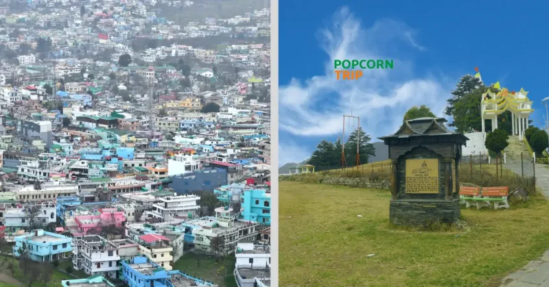
River valleys provide a useful way to understand the district’s geography.
Source check 2026-09-26 · Source review · ANUP research
Pithoragarh’s river network connects places that can appear far apart in a simple town list. The district river reference places the Gori–Kali confluence at Jauljibi and the eastern Ramganga–Saryu confluence at Rameshwar.
Names matter
The administration’s river table distinguishes Ramganga East. Retaining that qualifier helps avoid confusing rivers with the same name. The district also publishes separate references for peaks and passes.
Geography and journeys
A geographical description is not confirmation that a route is open. Use these sources to understand the landscape; check current local notices separately when planning travel. Historical administrative wording on older pages should also be checked before assigning an address to a district.
Sources
- District river system · pithoragarh.nic.in
- Peaks and passes · pithoragarh.nic.in
Explore Pithoragarh
Selected reading on places, local culture and geography. Archive articles retain their original dates.
Plan your visit
From the publication
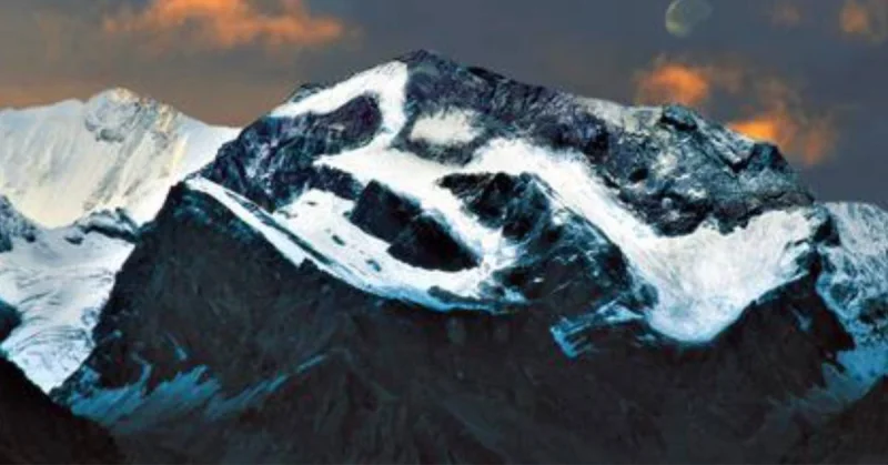
Adi Kailash and Om Parvat: A Practical Guide to Planning Your Yatra
Understand the two routes, permits, mountain travel and booking essentials before setting out for Adi Kailash and Om Parvat.
Read story →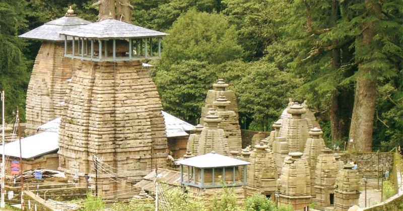
From the publication
Almora to Pithoragarh via Chitai and Jageshwar: Route Planning
Plan the Almora–Pithoragarh journey with Chitai and a Jageshwar detour, including stop priorities, an overnight alternative and practical departure checks.
Read story →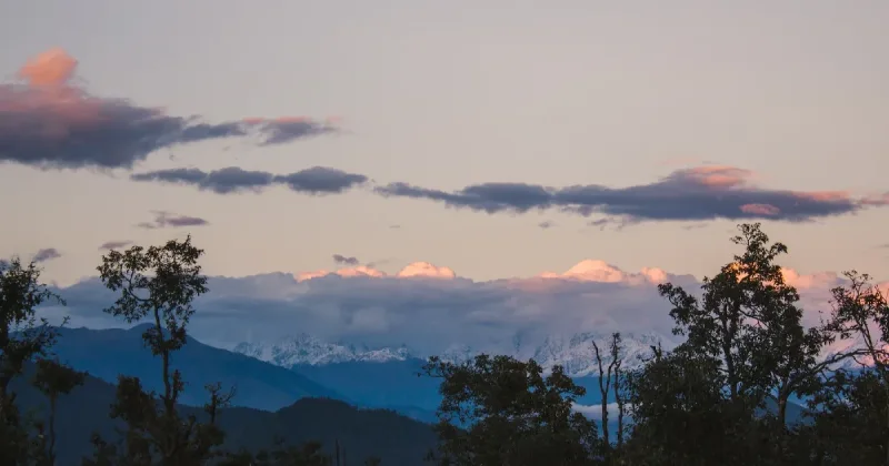
From the archive · 2022
Chaukori (चौकोड़ी)
उत्तराखंड राज्य में हिमालय की गोद में बसा एक छोटा सा शांत और सुन्दर पर्यटक आकर्षण का केंद्र चौकोड़ी। जहां वक़्त ठहरा हुआ सा महसूस कर सकते है। जहां सब से दूर, प्रकृति के मध्य रहा जा सकता है।
Read story →Places to explore
From the archive · 2023
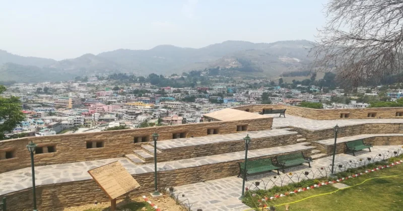
पिथौरागढ़ में घूमने की जगह
पिथौरागढ़ जिला भारत के उत्तराखंड राज्य का सबसे पूर्वी हिमालयी जिला है। यह प्राकृतिक रूप से उच्च हिमालयी पहाड़ों, बर्फ से ढकी चोटियों, दर्रों, घाटियों, अल्पाइन घास के मैदानों, जंगलों, झरनों,
Read story →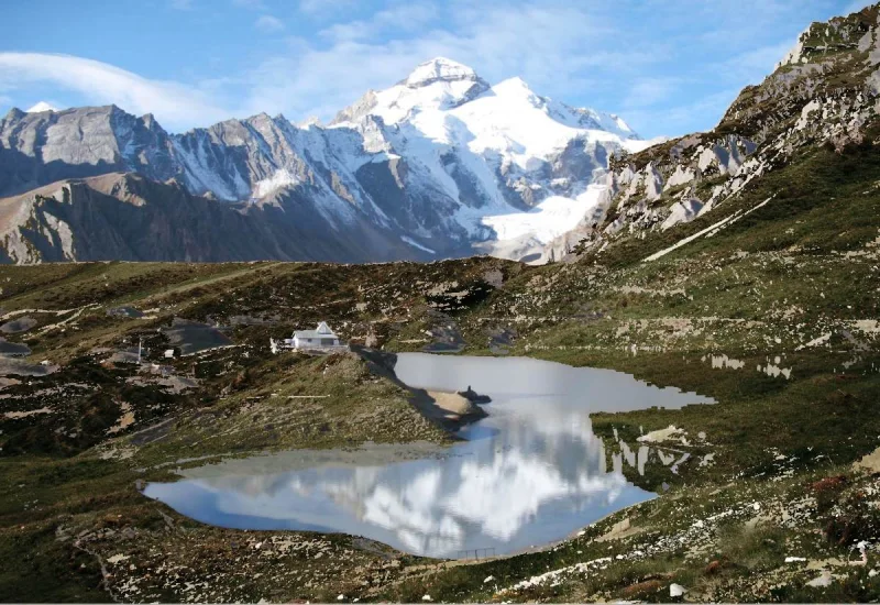
From the publication
Adi Kailash and Om Parvat: Two Sacred Landscapes in the Himalayas
Beyond Dharchula, follow the changing mountain landscape towards Adi Kailash, Parvati Sarovar and the snow patterns of Om Parvat.
Read story →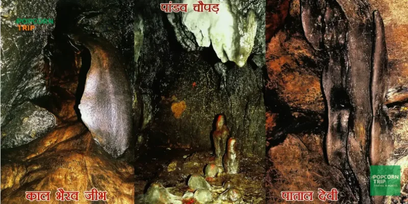
From the archive · 2022
Patal Bhuvaneshwar (पाताल भुवनेश्वर) Cave Uttarakhand
उत्तराखंड जिसे देवभूमि कहा जाता है। यहाँ कई मंदिर हैं, जिनसे कई कथाऐ जुड़ी हुई है। इन्हीं में से एक है उत्तराखंड के कुमाऊँ क्षेत्र के गंगोलीहाट का पाताल भुवनेश्वर मंदिर। देवदार के वृक्षों से
Read story →History, faith and local culture
From the archive · 2021
पिथौरागढ़ में मिशनरी का इतिहास
एक सौ पचास साल हो चुके हैं जब पिथौरागढ़ के सिलथाम में एक प्राथमिक स्कूल खुला था और उसमें सिर्फ एक बच्ची का प्रवेश हुआ था. लड़कियों की पढ़ाई लिखाई की यह शुरुवात थी.एक ऐसी लहर जो सोर घाटी में
Read story →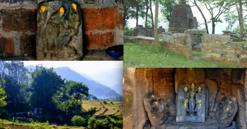
From the archive · 2023
उत्तराखंड के सुदूर पहाड़ी क्षेत्र में ऐतिहासिक विष्णु मंदिर जो है राष्ट्रीय धरोहर
Kotli Bhattigaun Pithoragarh Uttarakhand: उत्तराखंड को देवों की भूमि के नाम से जाना जाता है। यहाँ आपको कुछ ही दूर चलने पर मंदिर दिख जाएंगे। अगर उत्तराखंड के इतिहास की बात की जाए तो ये बहुत प
Read story →